The prospect of an online community project spurred me to overhaul the Yelapa map this summer.


There are plans afoot to include rental housing for a small fee on both the retail and online versions of this map. If you are interested in signing up, please contact me at mapajeff@hotmail.com.
Here by contrast is the 2015 edition, the last one based on the 2008 pen drawing. From edition to edition, I have gradually put more and more elements into digital form, now setting all text in my own font, Mapa Jeff Basic.

In 2008, I introduced this map and only began coloring it for the 2012 edition. People have often asked me for copies of this old style, and I miss its simplicity, but there is no going back:

The 2006 edition was based on the first drawing (measuring only 9x12 inches), with edits hand-drawn and taped over the original:

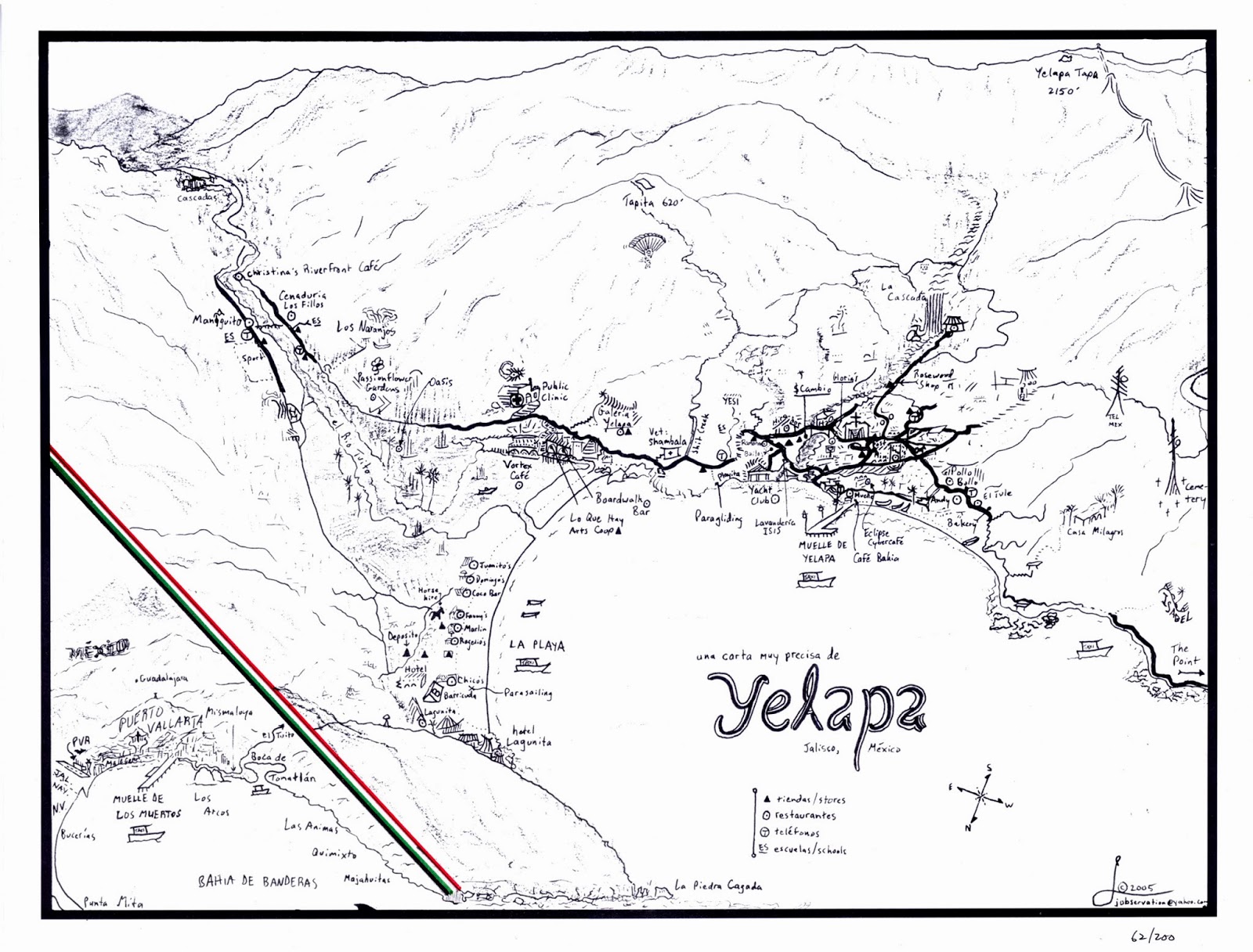
The very first edition was introduced in 2005 with a print run of 100 signed copies. The original drawing, on a 9x12" Stratmore sketchpad leaf, still exists, toned beige unlike this print: